Published 6/10/2021
Second round of flood mapping underway in Porirua
People in Aotea, Camborne, Papakowhai and Paremata are being asked to help inform draft flood hazard maps of their suburb, as part of a comprehensive flood mapping programme led by Wellington Water.
Porirua City Council Chief Executive Wendy Walker says as Porirua has a history of flooding, the mapping programme will provide crucial data for urban planning, infrastructure investment and civil defence planning.
“The main aim of this work is to protect life and property, so we can build resilience in our communities. This information will be critical in showing where we can safely develop land and place infrastructure, where to focus on storm water investment and generally to help more effectively plan for the city’s future,” she said.
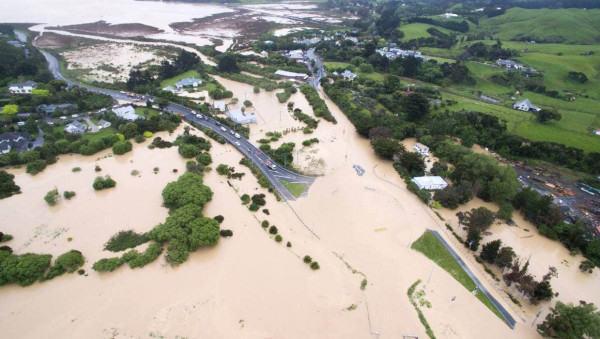
The maps depict flooding in one in 100-year and one in 10-year floods. They use computer modelling to depict what areas are affected by heavy rainfall draining from the hills into urban areas, from roofs, roads, footpaths and the water’s overland paths to drains, streams and rivers.
The work takes into account the projected impacts of climate change out to 2120.
Wellington Water’s Modelling Manager Nadia Nitsche says while the maps are developed to best practice standards and peer-reviewed by independent experts, Porirua residents’ local knowledge will help fine-tune the maps.
“People with a memory of past flooding events can point out where water flowed or settled in their neighbourhoods and properties during past flooding events. This information can then be used to adjust the maps to ensure they’re as accurate as possible, so this is a valuable part of the process.”
For the first time, and due to Covid-19, this engagement will be completely online. The information provided by the maps will be incorporated into the review of Porirua City Council’s District Plan to ensure future developments take account of flood risks and don’t increase the risk to existing properties.
All councils are required to make natural hazard information public. Any property with a history of flooding will have this information added to its Land Information Memorandum (LIM).
To have your say or for more information can be found at: www.wellingtonwater.co.nz/poriruafloodmaps